Paphos, Agia Varvara
Agia Varvara is mainly agricultural pieces of land with very few properties build in either agricultural parcels or older properties prior of the Planning Department was initiated. In those rare occasions that something will become available is mainly a villa or a more traditional style house.
General Info:
Agia Varvara is built 8 kilometers from Paphos. It is located at an altitude of 105 meters above sea level, [13] to the right of the river Eusebius. On the west it borders with Geroskipou, on the north with Marathounta, on the northeast with Episkopi, on the east with Anarita, on the south with Timi, and on the southwest with Achelia. The name of the community comes from St. Barbara. In 1958 the Turkish Cypriot inhabitants named it the Engindere community, which means a vast plain.
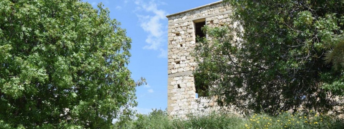
According to archaeological finds discovered in the area, it is likely that St. Barbara was inhabited by the Middle Bronze Age. In addition, according to archaeologist David Rupp, whose mission excavated the area in the 1980s, St. Barbara was a city during the Cypriot period, whose abandonment is linked to the abandonment of Palaipafos.
All Rights Reserved C.N. Property Canvas Ltd. Any unauthorised copying, reproduction and broadcasting is strictly prohibited.


